Applications of Drone Aerial Photography
The use of drones for aerial photography, surveying and surveying has gradually become the mainstream of the industry. We also keep pace with the times, and in compliance with safety requirements and laws, in addition to conducting aerial survey and survey for our company’s different projects, we also provide related drone aerial photography services to meet the needs of the industry.
Compliance with Safety Requirements and the Laws
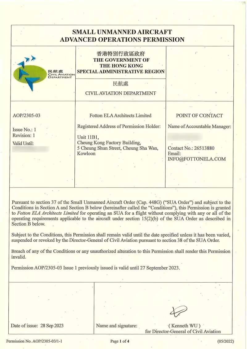
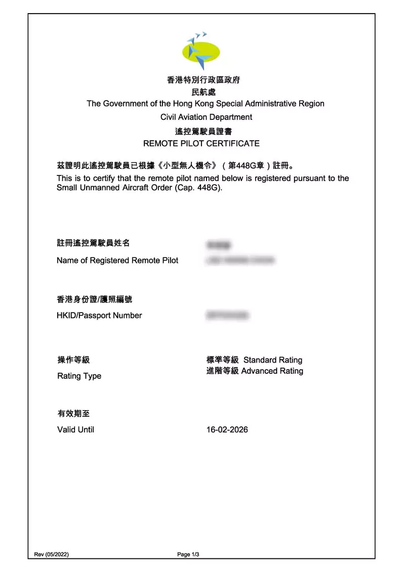
The Small Unmanned Aircraft Order (“SUA Order”), Chapter 448G of the Laws of Hong Kong, comes into operation on 1 June 2022. In order to conduct advanced operations, the Remote Pilot of an organisation shall hold an Advanced Rating and to perform varios stipulated advanced operations, the organisation must obtain the relevant permit from the Civil Aviation Department (“CAD”) known as the Advanced Operation Permit (“AOP”).
A drone operation is never a successful one without properly trained competent staffs with Advanced Operation Certificates and Permits. Operation safety and compliances are our top priorities – AOPs for Builing Survey / Inspection operations (AC-005) as well as Aerial Survey or Aerial Photography (AC-006) operations have been obtained from the CAD. SUA insurance for third-party liability (bodily injury and/or death) is purchaed for all of our missions.
Aerial Building Inspection and Survey
Building safety has becoming a hot topic and great concern due to the aging buildings. We are ready to keep our city a safer place.
Best for Building Surveying
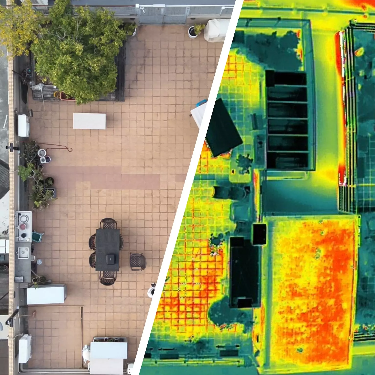
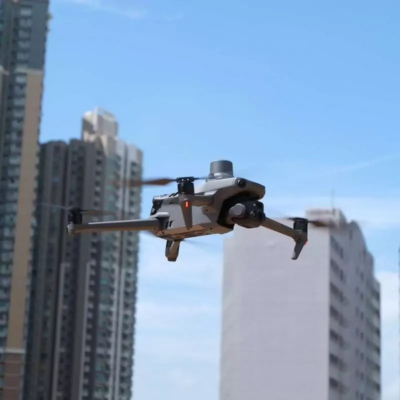
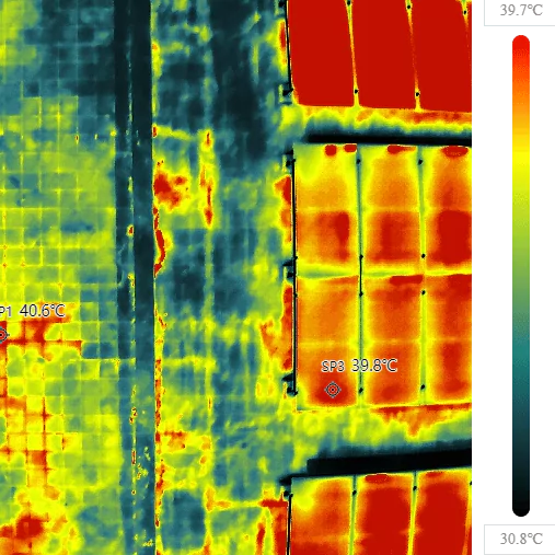
All our missions are conducted with our RTK & thermal camera equipped drones for simutanenous visual and thermal light (Rapid Infrared Thermography) surveying. The compact size ensure nimble maneuvering in dense areas.
Drones' Advantages
Inspections of places like the roof or the facades of a skyscraper can be done with ease like never before with drones unlike any handheld devices. Defective solar panels, water seepage, spalling, loose tiles, etc. can be detected much easier.
We are building professionals
With our strong professional architectural background, a drone survey is never limited to just a drone survey. Our profesional opinions also come with the service.
Rapid Infrared Thermographic and Visual Light Building Survey Reporting Writing
Our services are not limited to providing your with the images, with our architectural experiences, we are your best candicate for one-stop building survey report compliances.
Aerial Land Survey and Aerial Photography
We also provide drone aerial suryering and photography services, generating maps, 3D models and other useful outputs, aligning with other map sources for maximum flexibility and productivity.
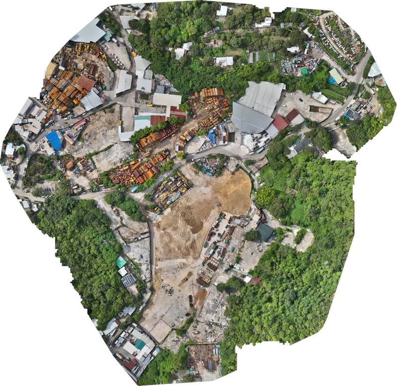
Large Area Mapping
Our services:
- Aerial site inspection
- Record site changes
- Preliminary survey of Site and Lot boundaries
- Use as a foundation for site planning such as Town Planning applications
- Use as a surveying foundation for Environmental and Visual Impact Assessment (such as generating panoramic photos at different mPD for the report), Tree Survey (such as measuring tree height in 3D view and inspection of tree at height), etc.
- Thermal mapping and inspection such as a solar cell plant
- Aerial photography and videography
The data can be processed and delivered in the following formats

360 Degrees Panaromic View
For rendering of Visual Impact Assessment and other usages
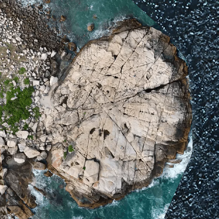
Geo-referenced photo
Provides a georeferenced visual view for general feature identification and inspection
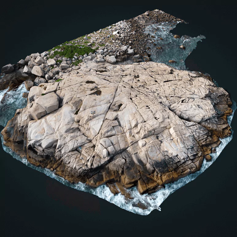
3D Model
3D models for better visualisation of the actual subject under the survey and the ability to perform accurate measurements, including height, length, volume, angle, etc.
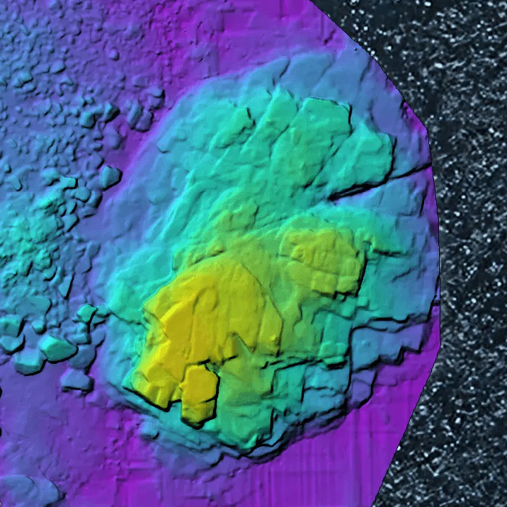
Digital Surface Model & Terrain Model
For easy visualisation of the elevation of the features of the survey subjects
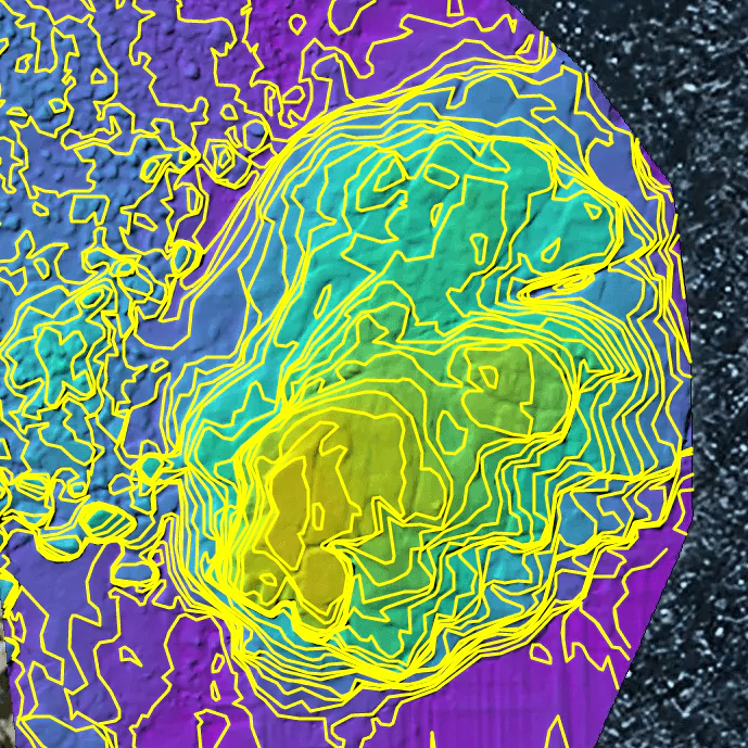
Contours
Most useful for mapping the contours of barren and large areas, data can be processed with CAD software and the like
